Business Solutions Powered by Precision Drone Data & Premium Real Estate Photography.
At AeroLens, we transform aerial data into actionable insights — empowering solar farms, construction projects, and agricultural enterprises to optimise performance and make smarter decisions.
We also specialise in high-end real estate photography and videography, delivering cinematic aerial perspectives and detailed property showcases that elevate listings and capture buyer attention. [Click here to learn more.]
We’re not just drone operators — we’re your aerial intelligence and visual story telling partner.

Our Services
Data-Driven Site Intelligence Services
At AeroLens, we combine high-end drone operations with deep industry expertise to deliver data-driven insights you can act on.
Our team is comprised of CASA accreditated drone pilots, Certified Thermographers and Data Scientists
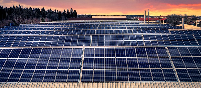
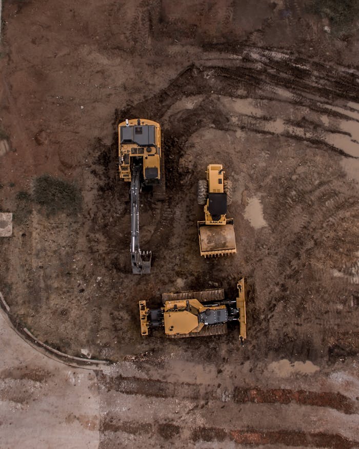
Business solutions for residential and commercial solar panel inspections, solar farms, mining, construction projects and agricultural enterprises, we turn aerial data into business intelligence — not just photographs.
About Us
The Story Behind AeroLens
More Than a Drone Company — Your Visual Intelligence Partner.
AeroLens delivers actionable business insights through precision drone data collection, advanced thermal imaging, 3D mapping, and multispectral crop analysis.
With real-world experience in mining, construction, agriculture, and property technology, our team understands the environments we fly over — and the critical decisions our analytics must support.
Your Trusted Partner for Drone-Based Business Intelligence Solutions.
Expertise
Over 10 years of excellence in business intelligence solutions using mapping data. Certified thermal inspector.
Specialised Applications
Specialised in solar farm inspections, construction project monitoring, thermal asset analysis, and agricultural intelligence.
Quality Commitment
High-quality aerial data and advanced analytics solutions — delivering clarity, accuracy, and operational value to every project.
Corey Clark
Clark Partners Real Estate
See What Our Clients Say
Our clients trust AeroLens to deliver affordable, precision-driven data analytics, data science, and Generative AI solutions — turning aerial data into actionable business insights.
Ready to Elevate Your Vision with Us?
Contact us today to discuss how our drone services can help you achieve your goals.
