Elevate Your Vision with Data Insights

About AeroLens
Business Intelligence Delivered from Above
At AeroLens, we transform aerial data into actionable business intelligence.
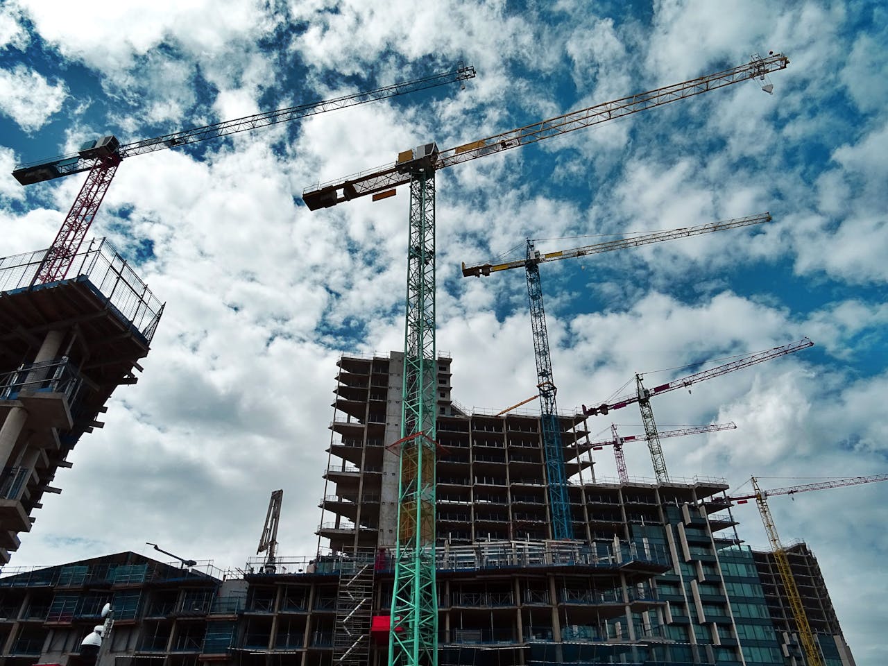
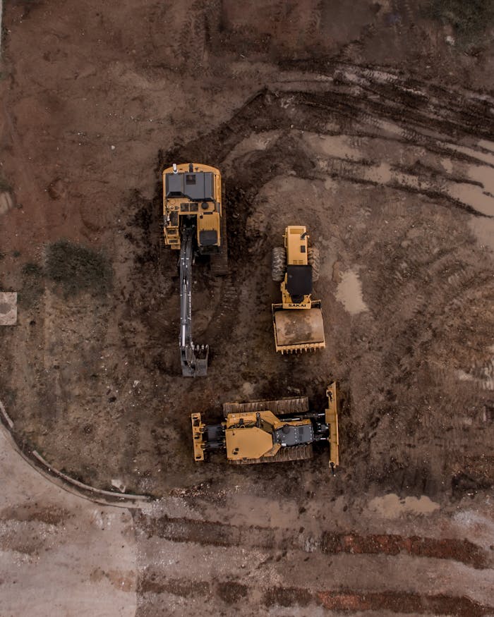
We specialise in precision drone-based data collection, thermal inspections, and advanced mapping solutions across the solar energy, construction, and agricultural sectors. Our mission is simple: to deliver clarity, accuracy, and insights that empower smarter decisions.
Founded in 2022, AeroLens draws on real-world expertise in mining, construction, agriculture, and property technology. With certifications in thermal inspections, aerial mapping, solar farm assessments, and data analytics, we deliver intelligence — not just imagery.
We help businesses detect faults early, track project progress, optimise asset performance, and make smarter operational decisions — all through the power of high-end RPAS technology and analytical insight.
Why Choose AeroLens?
Capability: Precision Thermal Imaging
What It Means for You: Early detection of faults, improved asset management, lower maintenance costs
Capability: Advanced Aerial Mapping
What It Means for You: High-resolution orthomosaics, 3D models, stockpile measurements, site audits
Capability: Industry-Specific Expertise
What It Means for You: Solar, construction, mining, agriculture — we understand the environments we fly over
Capability: Certified & Compliant
What It Means for You: CASA RePL certified, operating to the highest safety and regulatory standards
Capability: Data Analytics Integration
What It Means for You: Beyond images — we deliver analysis, reporting, and insights your teams can act on

CASA Certified ReOC
RePL 25kg
Aeronautical Radio Operator Certified
Certified Thermal Inspections
Construction White Card
Ready to Elevate Your Vision with Us?
Contact us today to discuss how our drone services can help you achieve your goals.
