Expert Drone Solutions for All Needs
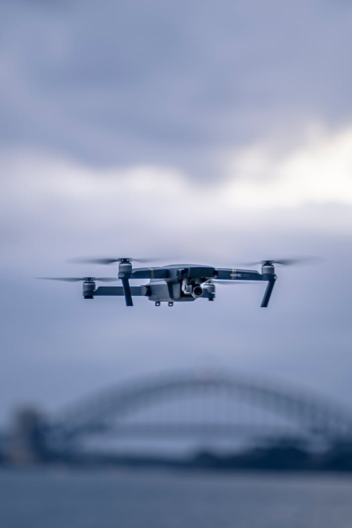
Actionable Intelligence Delivered from Above.

Certified thermal drone inspections | Advanced aerial mapping | Interactive reports for solar, construction, and agriculture”
Identify hidden asset faults with precision thermal inspections.
01

Thermal Asset Inspections

Detect faults before they become failures.
AeroLens delivers advanced drone-based thermal inspections for critical infrastructure, solar farms, substations, rooftops, and industrial facilities.
Our team as Certified Thermographers using precision thermal imaging combined with actionable visual analytics, we help businesses detect hidden anomalies, minimise operational risk, and optimise asset performance — all while reducing downtime.

02

Solar Farm Inspections

Optimise performance and reliability from above.
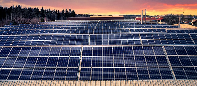
Ensure the peak efficiency and safety of your solar energy installations with our advanced drone-based inspections.
We combine high-resolution imagery and thermal analytics to quickly identify underperforming panels, system faults, and potential hazards — helping you maintain maximum output and extend asset lifespan.

Ensure solar system efficiency with drone thermal and visual analytics.
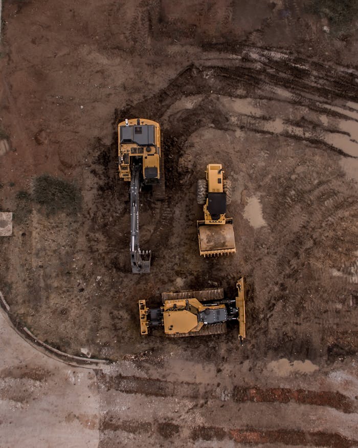
An aerial shot of heavy machinery at a construction site, including excavators and road rollers.
Deliver high-resolution maps and 3D models for smarter project planning.
03

Aerial Mapping/Survey

Precision mapping for smarter decisions.
AeroLens uses cutting-edge drone technology to deliver high-resolution aerial maps, 3D models, and geospatial surveys across construction, agriculture, and environmental management industries.
Our accurate, fast-delivered mapping solutions empower your projects with detailed site insights, saving time, reducing errors, and enabling confident planning.

04

Construction Project Monitoring

Track progress with precision and clarity.
AeroLens provides drone-based construction monitoring to visually document project milestones, validate contractor progress, and generate audit-ready records.
Our aerial reporting helps stakeholders stay informed, supports compliance, and strengthens project transparency from foundation to completion.

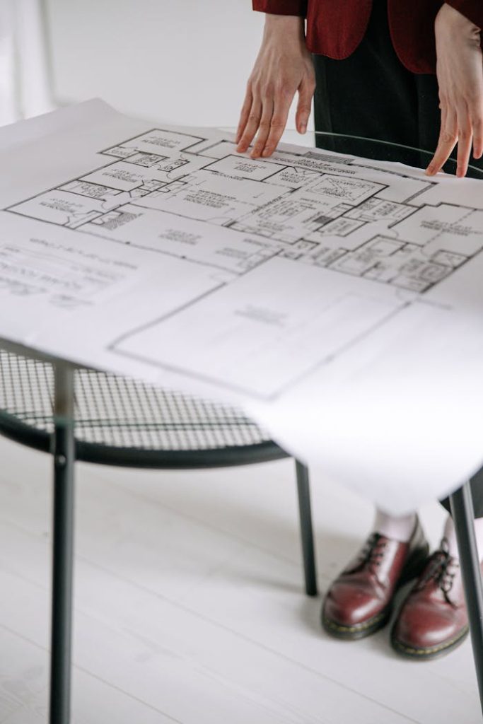
Person examining a detailed architectural floor plan on a table indoors with a focus on design.
Track construction milestones and validate progress from above.

Ready to Elevate Your Vision with Us?

Contact us today to discuss how our drone services can help you achieve your goals.

Scroll to Top